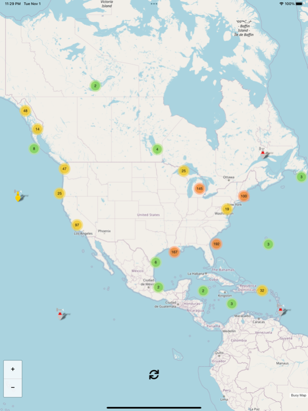
About Buoy Map
Buoy data includes (each buoy has a different set of instruments so not all sensors apply to every buoy): * Graph of 48hr wave height * Wind Direction * Wind Speed * Wind Gust Speed * Wave Height * Dominant W
Buoy data includes (each buoy has a different set of instruments so not all sensors apply to every buoy):
* Graph of 48hr wave height
* Wind Direction
* Wind Speed
* Wind Gust Speed
* Wave Height
* Dominant Wave Period
* Average Wave Period
* Wave Direction
* Air Pressure
* Air Pressure Trend
* Air Temperature
* Water Temperature
I plan to add new features frequently and I hope that you find this app helpful. Suggestions and constructive criticism is welcome.
Enjoy!
Open Source Credits: this Buoy Map app uses OpenStreetMap.org as a map provider and Leaflet.js as the map and icon engine.
Nov 2, 2022
Version 1.4
Added historical 48 hour graph of wave height data if present on buoy
Previous Versions
Here you can find the changelog of Buoy Map since it was posted on our website on 2021-11-07 19:16:57.
The latest version is 1.4 and it was updated on 2024-04-19 19:42:26. See below the changes in each version.
Buoy Map version 1.4
Updated At: 2022-11-02
Changes: Nov 2, 2022
Version 1.4
Added historical 48 hour graph of wave height data if present on buoy
Buoy Map version 1.3
Updated At: 2020-01-07
Changes: Jan 7, 2020 Version 1.3
Fixed issue with buoys not appearing on some devices.
Disclaimer
Official App Store Link
We do not host Buoy Map on our servers. We did not scan it for viruses, adware, spyware or other type of malware. This app is hosted by Apple and passed their terms and conditions to be listed there. We recommend caution when installing it.
The App Store link for Buoy Map is provided to you by apps112.com without any warranties, representations or guarantees of any kind, so access it at your own risk.
If you have questions regarding this particular app contact the publisher directly. For questions about the functionalities of apps112.com contact us.